Mobile App brochure


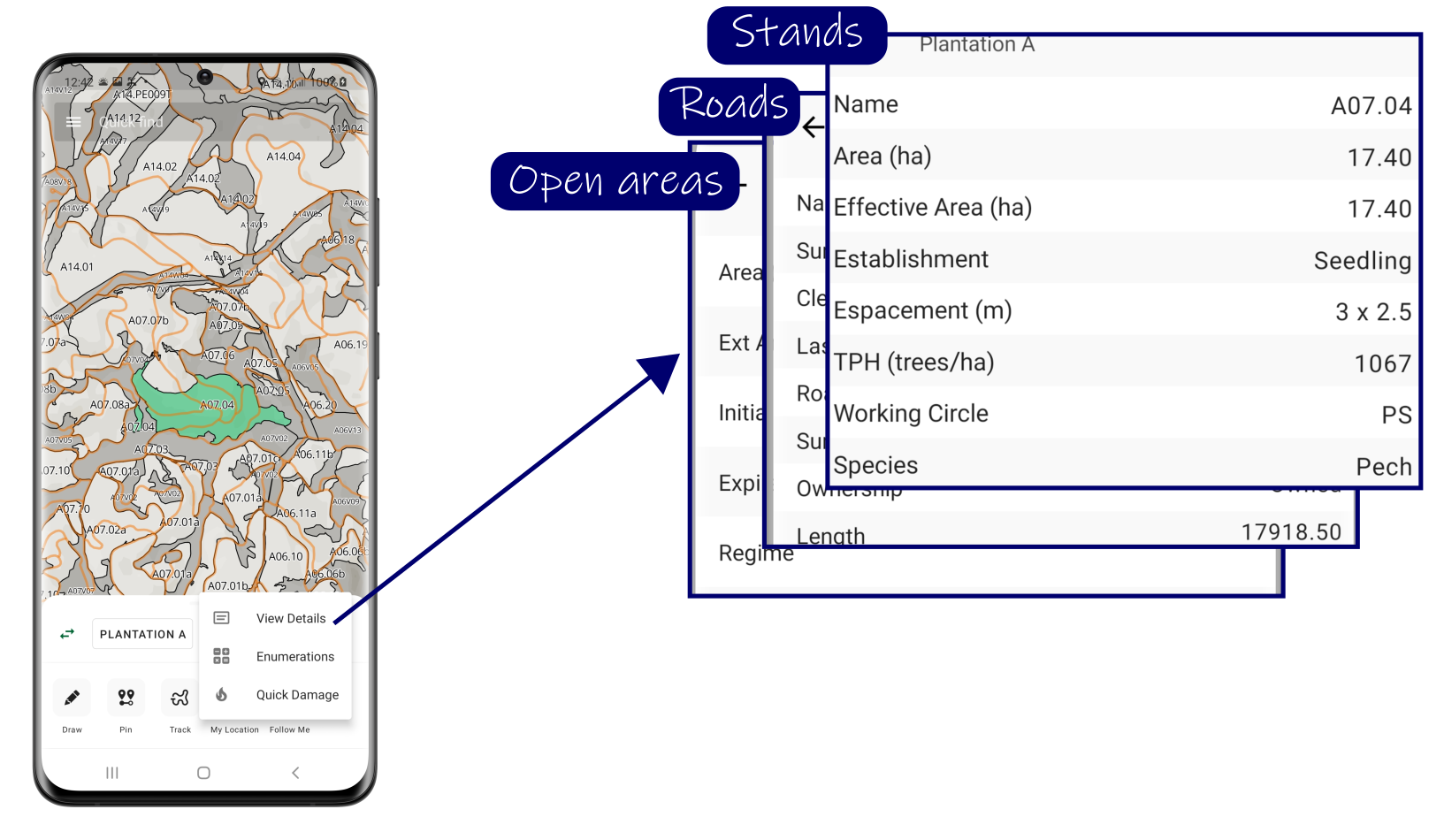
Plantation Register
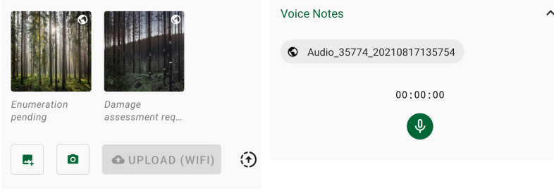
Upload photos, notes and voice notes
Map views
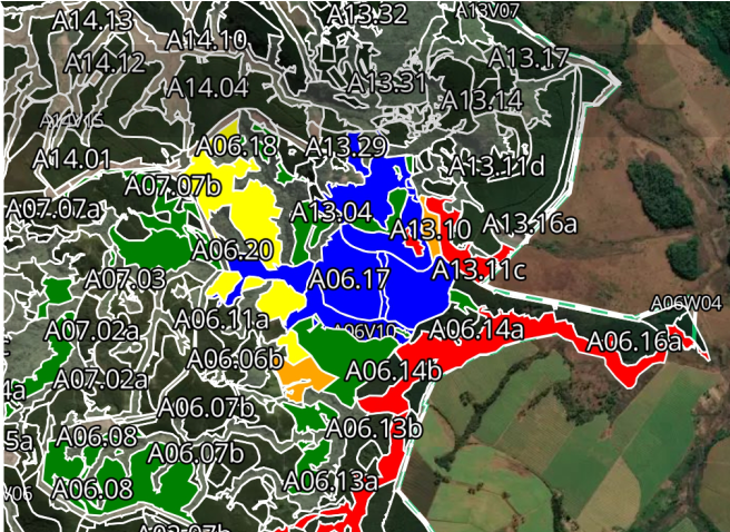
Customisable layers & map styles, e.g. fire ratings on a satellite base map.

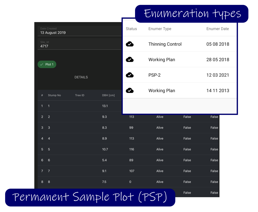
Enumerations
- A wide range of enumeration types captured directly on your device.
- Determine enumeration feasibility through infield processing.
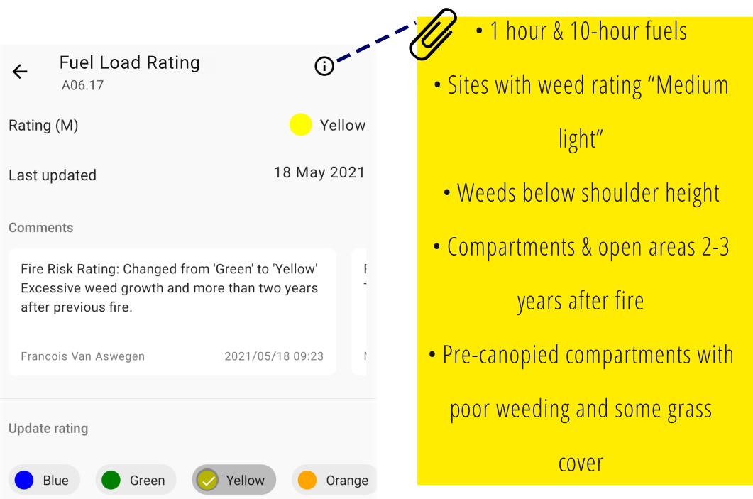
Infield Fuel Load Ratings
- Best practice guidelines based on description and rating of fuels.
- Access to historical data, e.g. previous fires and weed ratings.
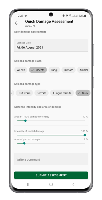
Damage Assessments
Quantitative assessments of any damage classes and types that affect a stand’s tree growth or timber production.

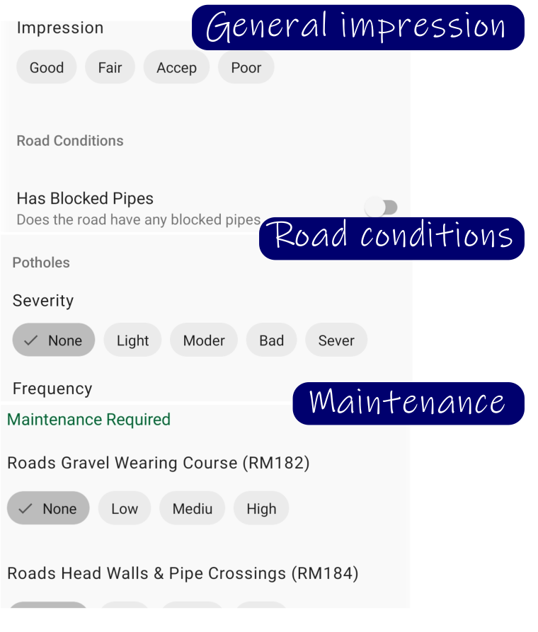
Road Assessments
Accurate and ongoing road assessments supporting critical source data for road maintenance planning and tactical harvest planning.
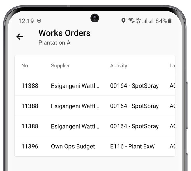
Operations
Manage activity schedules, perform quality assurance, and authorise completed work.
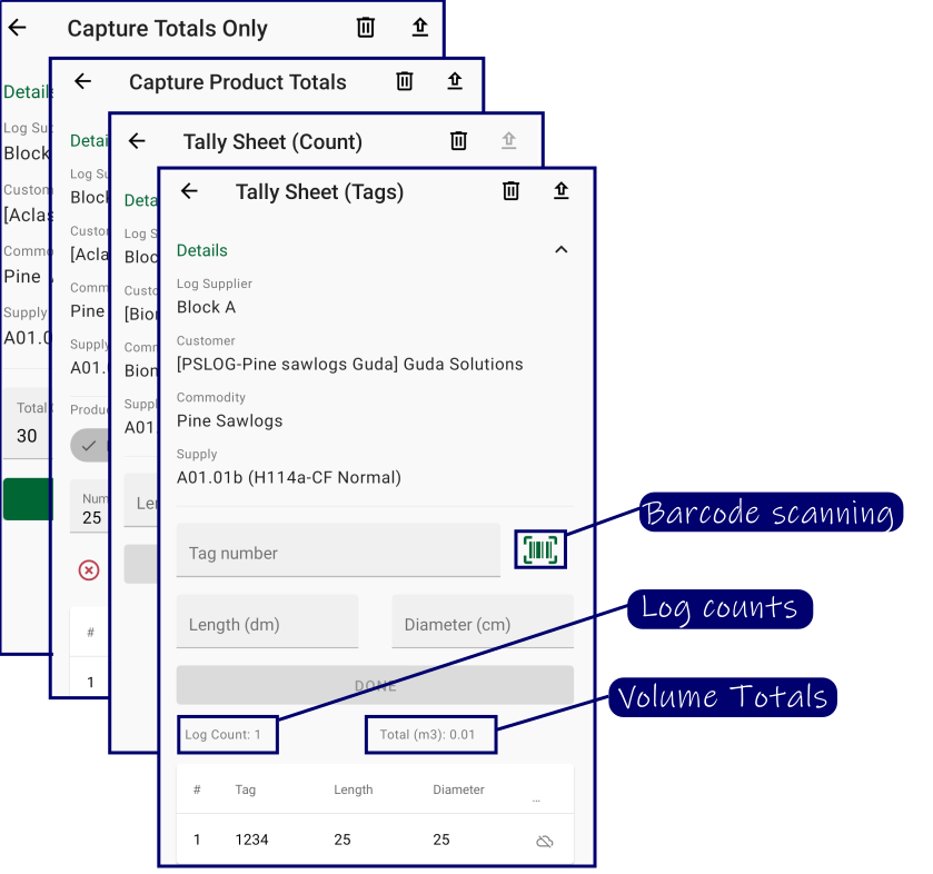
Timber Recording
Capture and upload log data using various recording methods.

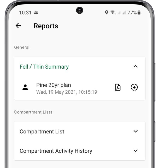
Reports
Download and view reports set up in Plantation Manager via our Reporting Tool.
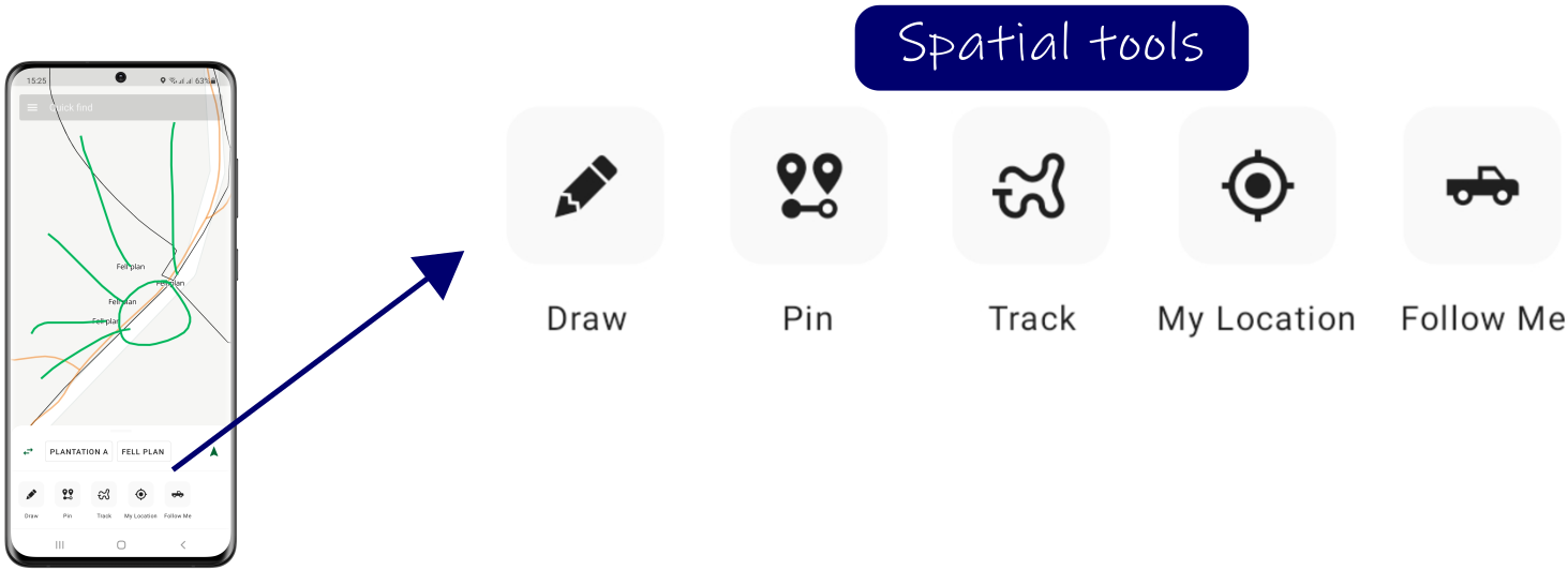
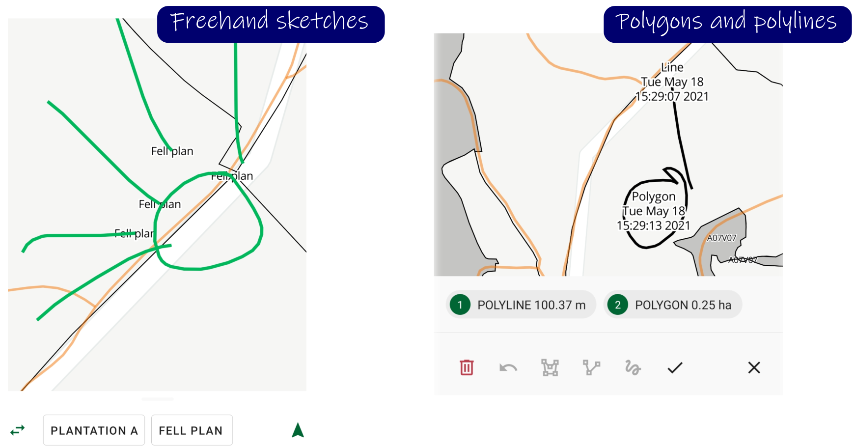
Drawings
- Freehand sketches
- Polygons and polylines
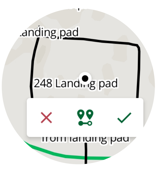
Pin location
Drop a pin or enter coordinates to flag any point of interest.
GPS tracking
Generate tracks and routes for map updates, then upload them to the GIS server for processing.
![]()


